All posts by Chris

Visual impact of cell towers

The visual impact of the cell tower would be severe.

Napier Ridge or Watoosa Ridge is  prominent , and can be seen from Chickmauga and Chattanooga National Military Park (the Battlefield), Chickamauga, Ringgold, Rock Spring, Lookout Mountain and Lafayette. A 189′ tower would be higher above the ridge line than the 150′ ridge is above the surrounding area.

There are currently no cell towers on the ridge; many local residents will prefer to keep the view they already enjoy.

Excellent cell coverage for the area is already provided by the 300′ tower (“big pine tree”) on the US 27 Bypass in Chickamauga, and rural towers in Noble and Rock Spring, Georgia.

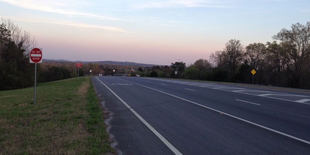
Hwy 27 Bypass at Osborn Rd in Chickamauga. Napier/Watoosa Ridge is directly ahead on the horizon (click to enlarge)

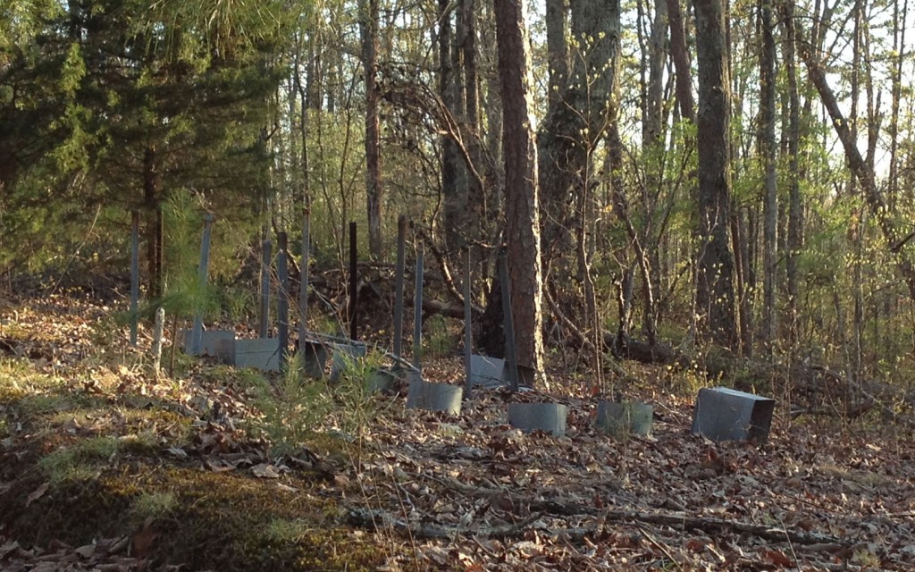
Below are photos of cell towers near the Walker county line in St Elmo (Hamilton County, TN). This ridge is similar in height to Watoosa/Napier Ridge.

Click below to enlarge and/or view full size images…


Errata

Following is a list of errors corrected, and clarifications about terms found on this website.

There is  confusion regarding the definition of a residential area, vs. residential district (zone), and this is an important point that should be addressed by the Catoosa County Planning Commission.

In other ordinances within the Catoosa County Code, residential area implies a parcel with a residential property class, or possibly the area around a residence. See the following:

In regard to the press release issued April 14, 2014:

Press Release referred to proposed site location as “residential area”. In fact, the location is an R-4 Residential property class code  parcel, located in an A-1 Agricultural district zone. Proposed site location is bordered by residential property class parcels with existing residences.

Land use of the proposed site location is R-4, and  neighboring Catoosa County parcels are classed as residential use R-3  or R-4, principal use being residential. In that sense, proposed site is a residential area, though it is not situated in a residential district zone. Additionally, the land lot (309) of the proposed site location substantially contains an R-1 district and partially contains an R-3 district (most of which is in lot 310).

Neighboring property in Walker County Lot 16 is zoned R2 Residential.

Info flyers and press release speculated the distance between tower and nearest residences to be less than 1,000′, based on approximate geographic coordinates of the possible tower site. While this has not been professionally surveyed, this distance would appear to be valid, based on geographic coordinates listed in the public site plan document, compared to location data available via Catoosa County tax parcel map online tools.


Distance from the proposed tower site to neighboring residences has not been established.

In regard to pages, posts, and documents found on this website:

Info flyers speculated the distance between tower and nearest residences to be less than 700′, based on approximate geographic coordinates of the possible tower site. While this has not been professionally surveyed, this distance would appear to be valid, based on geographic coordinates listed in the public site plan document, compared to location data available via Catoosa County tax parcel map online tools.

Property owner Rodney Richardson read info flyer and objected to the speculated distance between proposed tower site and nearest residences. I (Chris Gilligan) explained how the distances were calculated and asked Richardson to clarify distances with Planning & Zoning Office. Richardson has not replied.

Info flyers and web pages referred to the proposed site property as “residential property”. In fact, it is an R-4 Residential property class code  parcel, located in an A-1 Agricultural district zone. Info flyer has been edited to remove reference to “residential property”.

Tower base height was listed in press release, web site and info flyers as 960′ elevation, based on topographic map observation. In fact, the proposed tower base would be at 977′ MSL elevation, based on the public site plan document.

History of Cell Tower Plan

Revised dates of owner contact regarding tower siting proposal:  2012-13 revised to 2013-14.

Image of Proposed Tower Site

Revised placement of tower site.

Chris Gilligan
423-486-0122
chris@chrisgilligan.net
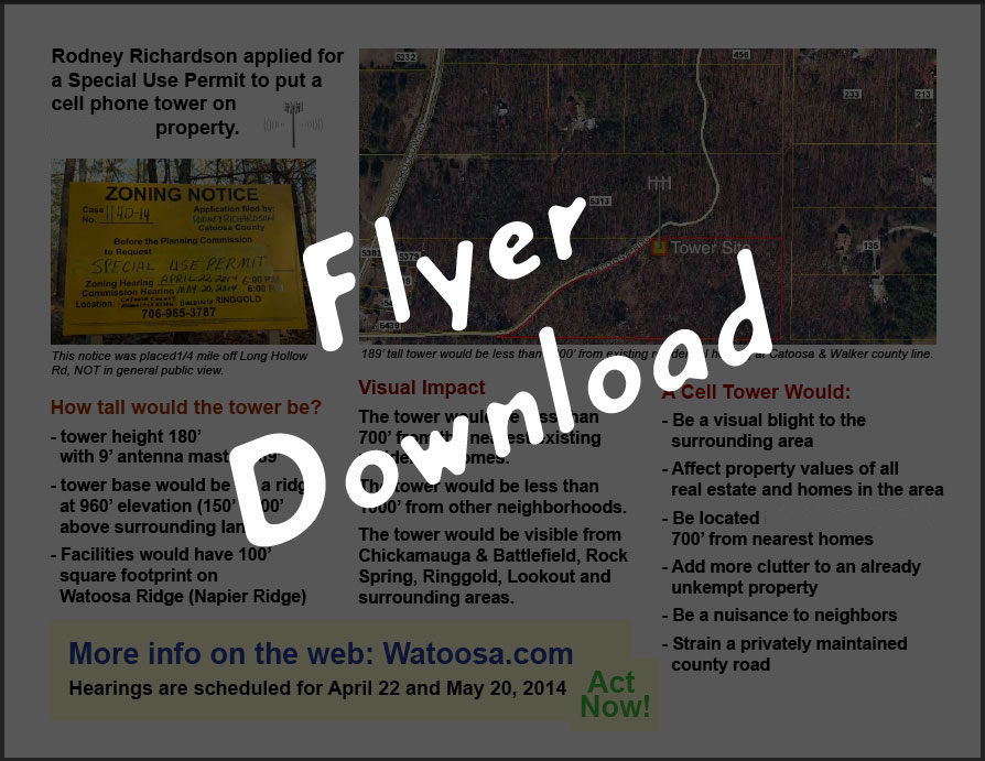
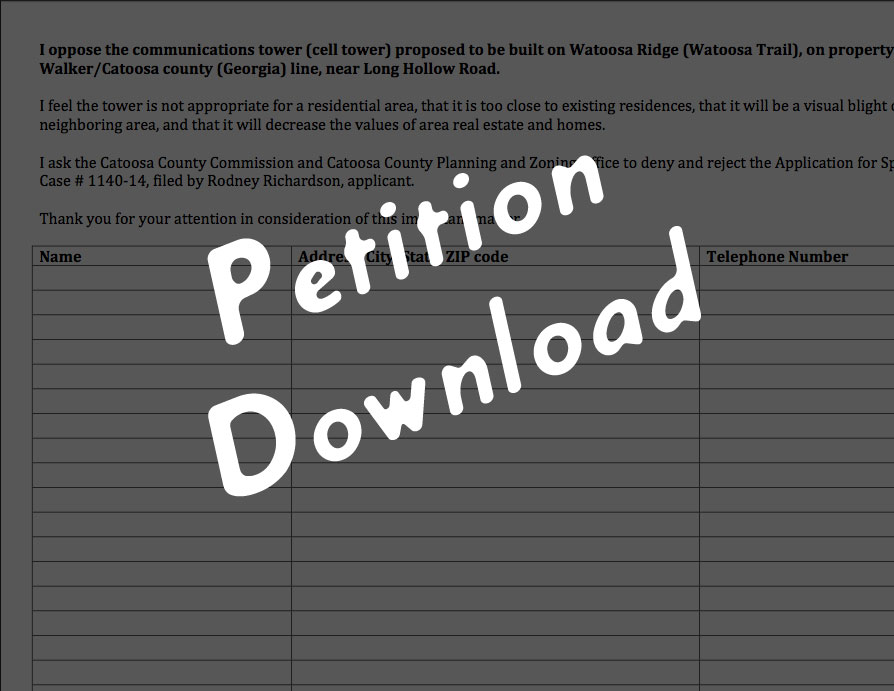
Flyers & Petitions

Flyers and Petitions:

Please see Errata for corrections, edits and clarifications made to these documents.

BRING NEIGHBORS AND SIGNED PETITIONS
TO APRIL 22 HEARING → !!!

Tell neighbors about watoosa.com.

Don’t live in Catoosa or Walker County?

cell-tower-flyer-downlaod

cell-tower-petition-download

Oppose the Cell Tower

Proposed cell tower would be on the Catoosa & Walker County line

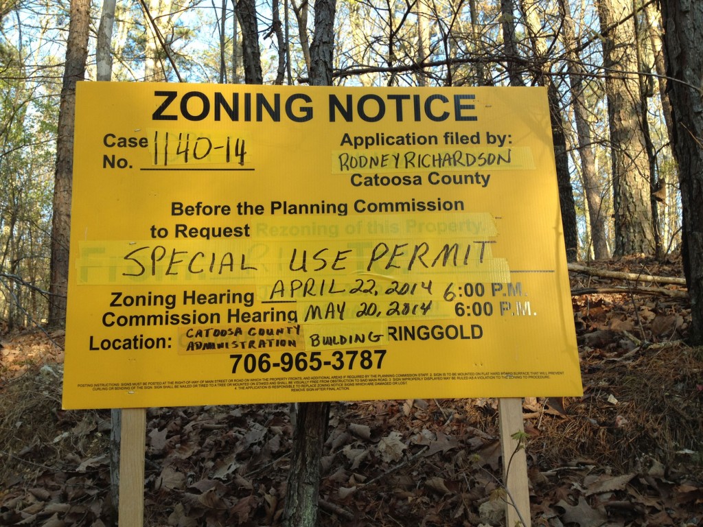
Rodney Richardson has applied for a Special Use Permit to allow a cellular communications tower to be constructed and operated in Catoosa County, GA near the Walker County line, near Long Hollow Road.

Please plan to attend the following meetings to oppose this nuisance, property value killer, and eyesore:

Zoning Hearing
April 22, 2014 at 6:00 PM
Catoosa County Administration Bldg.
800 Lafayette Rd,  Ringgold, GA
more info and map →

Commission Hearing
May 20, 2014 at 6:00 PM
800 Lafayette Rd,  Ringgold, GA
more info and map →

For more information about the Special Use Permit, hearings, etc:
call 706-965-3787
Ask for zoning information about Case No. 1140-14.

County Code IX 9.3 Communications Towers and Antenna →

cell-tower-permit-notice

History of the Cell Tower Plan

The company that plans to build the tower contacted several local property owners during 2013-14, but these neighbors refused to consider the offer. These are landholders who either reside on their land, or who care about the value(s) of their land and their community.

Information about Cell Phone Towers

(potential health hazards of Electromagnetic Radiation)

About the Property

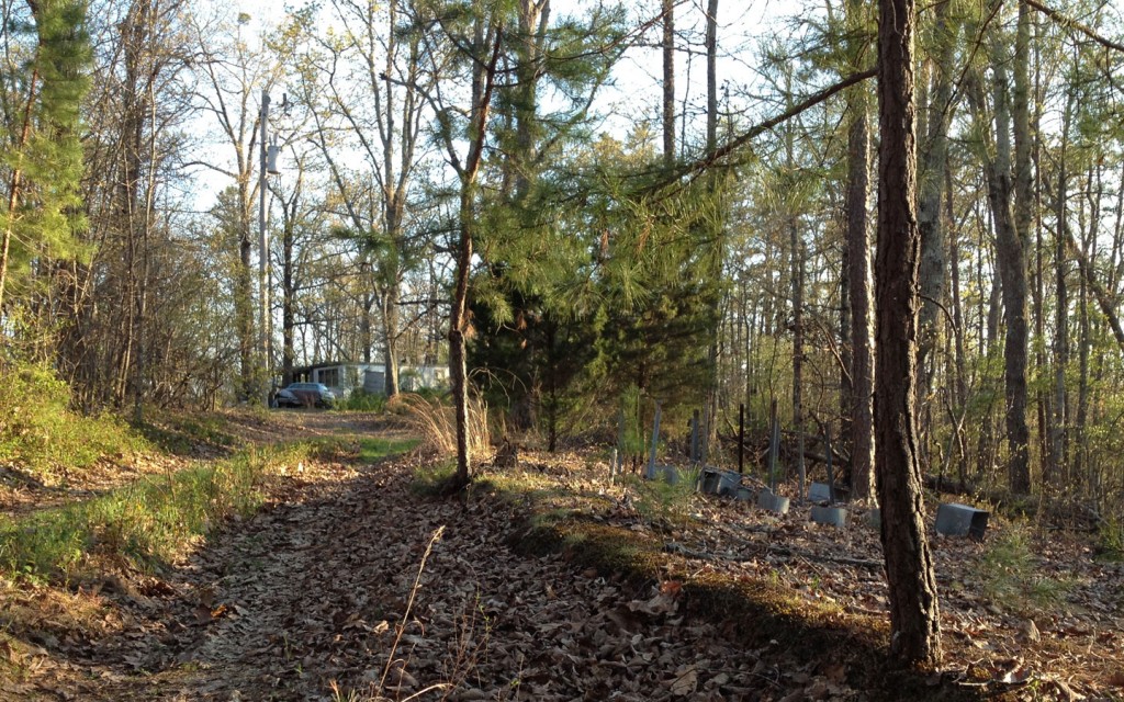
The property is neglected and abandoned.

Currently, there are junk vehicles, an uninhabited mobile home, dilapidated outbuildings, and abandoned cock shelters on the property.

cell-tower-junk-mobile-home-carcell-tower-trash-chicken-stuff


Who would this cell tower affect?

Cell Tower Permit Applied for in Catoosa County, Georgia; proposed tower on property at the Walker County line.

A 189′ tall cell tower would be placed at the top of Napier/Watoosa ridge, and would be visible for miles in all directions.

This permit application affects anyone who lives or travels within view of Napier Ridge (Watoosa Ridge), near the Catoosa and Walker County lines in Georgia.

  • Because the Special Use Permit  would require a variance from current Catoosa County, Georgia law, it directly affects ALL Catoosa residents.
  • Because the cell tower would be located on property at the Walker County line, it would directly affect many Walker residents.

Please study the maps on this page for more information.


View Watoosa Tower in a larger map

What if I’m in Walker?

Walker County residents are free to comment on this Catoosa County permit application, because a cell tower would impact the surrounding area. Read  More: What Can We Do? →

Where can I find information about the property owner?

Why should I oppose this tower?

There are lots of reasons. Read More: Oppose the Cell Tower →